Clean data obtained from Protected Planet. Specifically, this function is designed to clean data obtained from the World Database on Protected Areas (WDPA) and the World Database on Other Effective Area-Based Conservation Measures (WDOECM). For recommended practices on cleaning large datasets (e.g. datasets that span multiple countries or a large geographic area), please see below.
Usage
wdpa_clean(
  x,
  crs = "ESRI:54017",
  exclude_unesco = TRUE,
  retain_status = c("Designated", "Inscribed", "Established"),
  snap_tolerance = 1,
  simplify_tolerance = 0,
  geometry_precision = 1500,
  erase_overlaps = TRUE,
  repair_geometries = TRUE,
  verbose = interactive()
)
Arguments
- x
sf::sf()object containing protected area data.- crs
characterorintegerobject representing a coordinate reference system. Defaults to World Behrmann ("ESRI:54017").- exclude_unesco
logicalshould UNESCO Biosphere Reserves be excluded? Defaults toTRUE.- retain_status
charactervector containing the statuses for protected areas that should be retained during the cleaning process. Available statuses include:"Proposed","Inscribed","Adopted","Designated", and"Established". Additionally, aNULLargument can be specified to ensure that no protected areas are excluded according to their status. The default argument is acharactervector containing"Designated","Inscribed", and"Established". This default argument ensures that protected areas that are not currently implemented are excluded.- snap_tolerance
numerictolerance for snapping geometry to a grid for resolving invalid geometries. Defaults to 1 meter.- simplify_tolerance
numericsimplification tolerance. Defaults to 0 meters.- geometry_precision
numericlevel of precision for processing the spatial data (used withsf::st_set_precision()). The default argument is 1500 (higher values indicate higher precision). This level of precision is generally suitable for analyses at the national-scale. For analyses at finer-scale resolutions, please consider using a greater value (e.g. 10000).- erase_overlaps
logicalshould overlapping boundaries be erased? This is useful for making comparisons between individual protected areas and understanding their "effective" geographic coverage. On the other hand, this processing step may not be needed (e.g. if the protected area boundaries are going to be rasterized), and so processing time can be substantially by skipping this step and setting the argument toFALSE. Defaults toTRUE.- repair_geometries
logicalindicating if the data cleaning procedure should repair invalid spatial geometries? Although it is often necessary to repair geometries when working with national or multi-national scales, it may introduce, spatial artifacts that cause problems at local scales. Defaults toTRUE. Also, please be aware that settingrepair_geometries = FALSEmay result in errors during the data cleaning process.- verbose
logicalshould progress on data cleaning be reported? Defaults toTRUEin an interactive session, otherwiseFALSE.
Value
A sf::sf() object.
Details
This function cleans data following best practices (Butchart et al. 2015; Protected Planet 2021; Runge et al. 2015). To obtain accurate protected area coverage statistics for a country, please note that you will need to manually clip the cleaned data to the countries' coastline and its Exclusive Economic Zone (EEZ).
Exclude protected areas according to their status (i.e.
"STATUS"field). Specifically, protected areas that have a status not specified in the argument toretain_statusare excluded. By default, only protected areas that have a"Designated","Inscribed", or"Established"status are retained. This means that the default behavior is to exclude protected that are not currently implemented.Exclude United Nations Educational, Scientific and Cultural Organization (UNESCO) Biosphere Reserves (Coetzer et al. 2014). This step is only performed if the argument to
exclude_unescoisTRUE.Standardize column names to ensure consistency between data stored in geodatabase and shapefile formats. Specifically, if present, the
"PARENT_ISO3"field is renamed to "PARENT_ISO" and the "SHAPE" field is renamed to"geometry". Note that this field was deprecated by Protected Planet in November 2025 and so this step is not performed for more recent versions of the database. This information is now provided by the"PRNT_ISO3"field.Create a field (
"GEOMETRY_TYPE") indicating if areas are represented as point localities ("POINT") or as polygons ("POLYGON").Exclude areas represented as point localities that do not have a reported spatial extent (i.e. missing data for the field
Geometries are wrapped to the dateline (using
sf::st_wrap_dateline()with the options"WRAPDATELINE=YES"and"DATELINEOFFSET=180").Reproject data to coordinate system specified in argument to
crs(usingsf::st_transform()).Repair any invalid geometries that have manifested (using
st_repair_geometry()). Note that this step is not performed ifrepair_geometries = FALSE.Buffer areas represented as point localities to circular areas using their reported spatial extent (using data in the field
"REP_AREA"andsf::st_buffer(); see Visconti et al. 2013).Snap the geometries to a grid to fix any remaining geometry issues (using argument to
snap_toleranceandlwgeom::st_snap_to_grid()).Repair any invalid geometries that have manifested (using
st_repair_geometry()). Note that this step is not performed ifrepair_geometries = FALSE.Simplify the protected area geometries to reduce computational burden (using argument to
simplify_toleranceandsf::st_simplify()). Note that this step is not performed ifrepair_geometries = FALSE.Repair any invalid geometries that have manifested (using
st_repair_geometry()).If the
"MARINE"field is present, then it will be converted from integer codes to descriptive names (i.e.0="terrestrial",1="partial",2="marine"). Note that this field was deprecated by Protected Planet in November 2025 and so this step is not performed for more recent versions of the database. This information is now provided by the"REALM"field, wherein sites with over 10% of their area on land are assigned a"Terrestrial"value, sites with over 90% of their area in marine areas are assigned a"Marine" value, and remaining sites are assigned a"Coastal"` value.If the
"PA_DEF"field is present, then it will be converted from integer codes to descriptive names (i.e.0="OECM", and1="PA"). Note that this field was deprecated by Protected Planet in November 2025 and so this step is not performed for more recent versions of the database. This information is now provided by the"SITE_TYPE"field.Zeros in the
"STATUS_YR"field are replaced with missing values (i.e.NA_real_values).Zeros in the
"NO_TK_AREA"field are replaced withNAvalues for areas where such data are not reported or applicable (i.e. areas with the values"Not Applicable"or"Not Reported"in the"NO_TK_AREA"field).Overlapping geometries are erased from the protected area data (discussed in Deguignet et al. 2017). Geometries are erased such that areas associated with more effective management categories (
"IUCN_CAT") or have historical precedence are retained (usingsf::st_difference()).Slivers are removed (geometries with areas less than 0.1 square meters).
The size of areas are calculated in square kilometers and stored in the field
"AREA_KM2".Trimming extra leading or trailing white space characters (i.e.,
" ","\n","\r") from fields that contain character values.
Recommended practices for large datasets
This function can be used to clean large datasets assuming that
sufficient computational resources and time are available.
Indeed, it can clean data spanning large countries, multiple
countries, and even the full global dataset.
When processing the full global dataset, it is recommended to use a
computer system with at least 32 GB RAM available and to allow for at least
one full day for the data cleaning procedures to complete.
It is also recommended to avoid using the computer system for any other
tasks while the data cleaning procedures are being completed,
because they are very computationally intensive.
Additionally, when processing large datasets – and especially
for the global dataset – it is strongly recommended to disable the
procedure for erasing overlapping areas.
This is because the built-in procedure for erasing overlaps is
very time consuming when processing many protected areas, so that
information on each protected area can be output
(e.g. IUCN category, year established).
Instead, when cleaning large datasets, it is recommended to run
the data cleaning procedures with the procedure for erasing
overlapping areas disabled (i.e. with erase_overlaps = FALSE).
After the data cleaning procedures have completed,
the protected area data can be manually dissolved
to remove overlapping areas (e.g. using wdpa_dissolve()).
For an example of processing a large protected area dataset,
please see the vignette.
References
Butchart SH, Clarke M, Smith RJ, Sykes RE, Scharlemann JP, Harfoot M, ... & Brooks TM (2015) Shortfalls and solutions for meeting national and global conservation area targets. Conservation Letters, 8: 329–337.
Coetzer KL, Witkowski ET, & Erasmus BF (2014) Reviewing Biosphere Reserves globally: Effective conservation action or bureaucratic label? Biological Reviews, 89: 82–104.
Deguignet M, Arnell A, Juffe-Bignoli D, Shi Y, Bingham H, MacSharry B & Kingston N (2017) Measuring the extent of overlaps in protected area designations. PloS One, 12: e0188681.
Runge CA, Watson JEM, Butchart HM, Hanson JO, Possingham HP & Fuller RA (2015) Protected areas and global conservation of migratory birds. Science, 350: 1255–1258.
Protected Planet (2021) Calculating protected and OECM area coverage. Available at: https://www.protectedplanet.net/en/resources/calculating-protected-area-coverage.
Visconti P, Di Marco M, Alvarez-Romero JG, Januchowski-Hartley SR, Pressey, RL, Weeks R & Rondinini C (2013) Effects of errors and gaps in spatial data sets on assessment of conservation progress. Conservation Biology, 27: 1000–1010.
Examples
# \dontrun{
# fetch data for the Liechtenstein
lie_raw_data <- wdpa_fetch("LIE", wait = TRUE)
# clean data
lie_data <- wdpa_clean(lie_raw_data)
# plot cleaned dataset
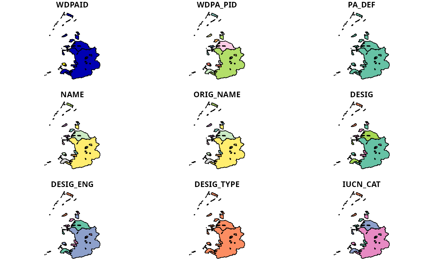
plot(lie_data)
#> Warning: plotting the first 9 out of 35 attributes; use max.plot = 35 to plot all
 # }
# }