Get Jung (2020) potential habitat classification data (level 1)
Source:R/get_jung_plvl1_habitat_data.R
get_jung_plvl1_habitat_data.RdImport potential habitat classification data derived from Jung (2020). If data are not available locally, they are downloaded from a Zenodo repository (doi:10.5281/zenodo.6622090 ).
Usage
get_jung_plvl1_habitat_data(
  dir = tempdir(),
  version = "latest",
  force = FALSE,
  verbose = TRUE
)
Arguments
- dir
characterFolder path for downloading and caching data. By default, data are downloaded to a temporary directory (i.e.,tempdir()). To avoid downloading the same data multiple times, it is strongly recommended to specify a persistent storage location (see Examples below).- version
characterValue indicating the specific version of the dataset that should be downloaded. The version should be indicated using the Digital Object Identifier of the specific version required (e.g."10.5281/zenodo.3673586"). Defaults to"latest"such that the latest release of the dataset with available habitat data is used.- force
logicalShould the data be downloaded even if the the data are already available? Defaults toFALSE.- verbose
logicalShould progress be displayed while downloading data? Defaults toTRUE.
Value
A terra::rast() object containing the potential habitat data
(100 m resolution). Pixel values indicate the potential habitat
classification codes.
Details
The data predict the potential habitat types that would be available in a given location if not for anthropogenic activities (see Hengl et al. 2018 for details). As such, they can be used to identify locations where restoration activities could produce certain habitat types. This means that they can, in turn, be used to predict the location of suitable habitat for species following the restoration activities. Since the data do not show the historic distribution of habitat types, they cannot be used to examine patterns of habitat loss.
The data were produced by obtaining the level 1 habitat classification data from a Zenodo repository (Jung 2020), and resampling the data (using nearest neighbor interpolation) to the World Behrmannn coordinate reference systems (ESRI:54017).
References
Jung M (2020) A layer of global potential habitats (insert version) [Data set]. Zenodo. doi:10.5281/zenodo.4038749
See also
See crosswalk_jung_lvl1_data() for details on which grid values correspond
to which habitat classification codes.
Examples
# \dontrun{
# define persistent storage location
download_dir <- rappdirs::user_data_dir("aoh")
# create download directory if needed
if (!file.exists(download_dir)) {
dir.create(download_dir, showWarnings = FALSE, recursive = TRUE)
}
# download and import potential habitat data
ph_data <- get_jung_plvl1_habitat_data(download_dir, version = "latest")
# preview data
print(ph_data)
#> class : SpatRaster
#> size : 132926, 347351, 1 (nrow, ncol, nlyr)
#> resolution : 100, 100 (x, y)
#> extent : -17367531, 17367569, -6005523, 7287077 (xmin, xmax, ymin, ymax)
#> coord. ref. : World_Behrmann
#> source : jung-plvl1-10-5281_zenodo-4038749.tif
#> name : jung-plvl1-10-5281_zenodo-4038749
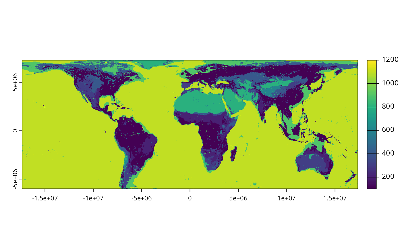
# plot data
plot(ph_data)
 # }
# }