Get Jung et al. (2020) habitat classification data (level 1)
Source:R/get_jung_lvl1_habitat_data.R
get_jung_lvl1_habitat_data.RdImport habitat classification data (level 1) derived from Jung et al. (2020a). If data are not available locally, they are downloaded from a Zenodo repository (doi:10.5281/zenodo.6622029 ).
Usage
get_jung_lvl1_habitat_data(
  dir = tempdir(),
  version = "latest",
  force = FALSE,
  verbose = TRUE
)
Arguments
- dir
characterFolder path for downloading and caching data. By default, data are downloaded to a temporary directory (i.e.,tempdir()). To avoid downloading the same data multiple times, it is strongly recommended to specify a persistent storage location (see Examples below).- version
characterValue indicating the specific version of the dataset that should be downloaded. The version should be indicated using the Digital Object Identifier of the specific version required (e.g."10.5281/zenodo.3673586"). Defaults to"latest"such that the latest release of the dataset with available habitat data is used.- force
logicalShould the data be downloaded even if the the data are already available? Defaults toFALSE.- verbose
logicalShould progress be displayed while downloading data? Defaults toTRUE.
Value
A terra::rast() object containing the habitat data
(100 m resolution). Pixel values indicate the habitat classification codes.
Details
The data were produced by obtaining the level 1 habitat classification data from a Zenodo repository (Jung et al. 2020b), and resampling the data (using nearest neighbor interpolation) to the World Behrmannn coordinate reference systems (ESRI:54017).
References
Jung M, Dahal PR, Butchart SHM, Donald PF, De Lamo X, Lesiv M, Kapos V, Rondinini C, and Visconti P (2020a) A global map of terrestrial habitat types. Scientific Data, 7, 1–8. doi:10.1038/s41597-020-00599-8
Jung M, Dahal PR, Butchart SHM, Donald PF, De Lamo X, Lesiv M, Kapos V, Rondinini C, and Visconti P (2020b) A global map of terrestrial habitat types (insert version) [Data set]. Zenodo. doi:10.5281/zenodo.4058819
See also
See crosswalk_jung_lvl1_data() for details on which grid values correspond
to which habitat classification codes.
Examples
# \dontrun{
# define persistent storage location
download_dir <- rappdirs::user_data_dir("aoh")
# create download directory if needed
if (!file.exists(download_dir)) {
dir.create(download_dir, showWarnings = FALSE, recursive = TRUE)
}
# download and import habitat data
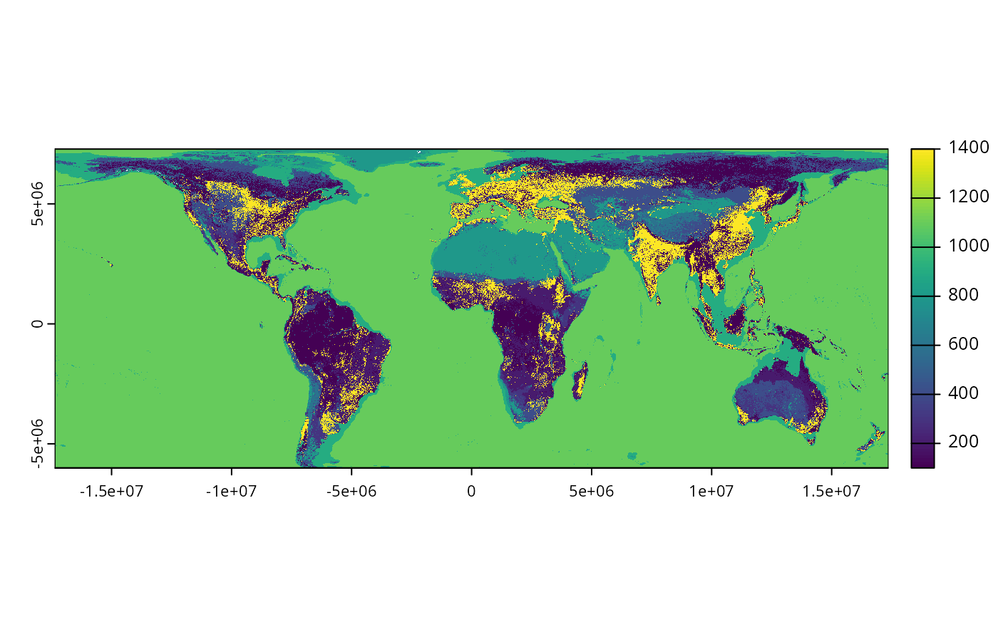
habitat_data <- get_jung_lvl1_habitat_data(download_dir, version = "latest")
# preview data
print(habitat_data)
#> class : SpatRaster
#> size : 132926, 347351, 1 (nrow, ncol, nlyr)
#> resolution : 100, 100 (x, y)
#> extent : -17367531, 17367569, -6005523, 7287077 (xmin, xmax, ymin, ymax)
#> coord. ref. : World_Behrmann
#> source : jung-lvl1-10-5281_zenodo-4058819.tif
#> name : jung-lvl1-10-5281_zenodo-4058819
# plot data
plot(habitat_data)
 # }
# }